The wolfsbane goes into the pie under the crust, and while you did it the water in the dyke came up over the first rung of the sluice ladder.
Step Two: the brooks
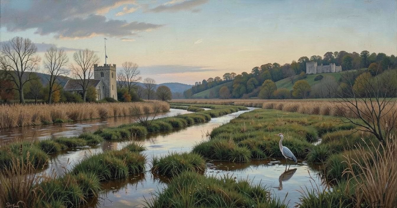
The map is the knight's, drawn this morning from the church tower with the sexton at his elbow: twelve brook fields between the church and the river, the dyke running through the middle row from the Hole to the sluice, the castle away to the north and the river down the east side. Then he walked the dyke, and wrote three things on the back.
On the back of the map, in the knight's hand
- It came up out of the dyke and went back into it. Where it lies, the dyke runs through.
- The miller's boy heard it from the mill door at noon, off to the east of him, beyond the withies.
- The sluice keeper walked his own meadow at the turn of the tide and swears nothing has been through his gates.
Tap the field where it lies, and go there.
The dotted line is the dyke.
This step, in words
The plan is a grid of twelve fields, four across and three down, with north at the top. Top row, west to east: Mill Brook, Tithe Mead, Rope Walk, Ferry Piece. Middle row: Church Field, Long Withies, Sallow Brook, Sluice Meadow; the dyke runs through all four of these, from the Knucker Hole at the west end to the sluice gates at the river on the east. Bottom row: Pound Mead, Cudlow Piece, Heron Marsh, Wharf Brooks. The mill stands in the north-west corner in Mill Brook, the church is west of Church Field, the river runs down the east side, and the castle is off the top of the map to the north. Every field is a button, named, in that arrangement. Tap one and then Go there.
The sexton knows these fields. His notes are the key, if you want them.